In Saguenay, the interplay between the deep marine clay deposits of the lowlands and the granite bedrock of the Precambrian Shield creates a unique challenge for any open cut. You can be excavating in stiff till in Jonquière and hit a pressurized silt lens within the same block. We have monitored projects where a 6-meter cut in the Chicoutimi area triggered a 12 mm settlement in an adjacent building simply because a thin sand seam was acting as a confined aquifer. That’s why we rely on real-time total stations and in-place inclinometers rather than periodic manual checks. Before opening the face, we often combine the monitoring array with a slope stability analysis calibrated to the Laflamme Sea clay parameters, a formation that covers most of the Saguenay graben.
In Saguenay’s sensitive clays, a 10 mm movement can be the difference between a stable cut and a progressive failure. Our alerts trigger at 70% of the design threshold.
Area-specific notes
The risk profile changes dramatically between the terrace deposits of Chicoutimi-Nord and the valley-bottom clays of Jonquière. In Chicoutimi-Nord, the bedrock is shallow — often less than 3 meters deep — and the main hazard is vibration transmission from hydraulic breakers into brittle rock wedges. Across the Rivière Saguenay in Jonquière, excavations can go 7 meters deep through soft Champlain Sea clay, where basal heave and piping at the toe are constant threats. A project we tracked near Place du Royaume showed vertical movements accelerating from 3 mm/day to 18 mm/day in 48 hours after a rainstorm, simply because the drainage layer between the till and the clay was overloaded. Without a deep excavation monitoring plan that includes both surface and subsurface instruments, that kind of acceleration goes unnoticed until it is too late. We also check for frost penetration in winter, as the freeze-thaw front can alter the apparent cohesion of the exposed face.
Standards used
ASTM D7299-20 — Standard Practice for Verifying Performance of Vertical Inclinometers, FHWA-IF-99-015 — Ground Anchors and Anchored Systems, Geotechnical Circular No. 4, NBCC 2015 — National Building Code of Canada, Part 4, Section 4.2 Excavations, CSA A23.3-14 — Design of Concrete Structures, Annex D (Vibration and Monitoring), ASTM D653-22 — Standard Terminology Relating to Soil, Rock, and Contained Fluids
Quick answers
How quickly can you deploy a monitoring system for an urgent excavation in Saguenay?
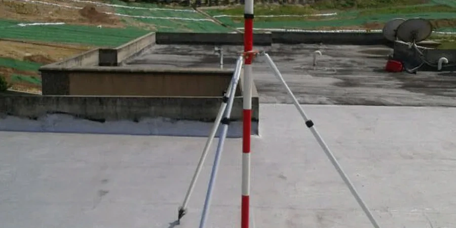
We can mobilize a crew to Saguenay within 24 to 36 hours for initial installation. The automated total station and first set of prisms can be operational the same day. Borehole instruments like inclinometers and piezometers take an additional 2 to 3 days to drill, install, and establish baseline readings.
What is the typical cost range for excavation monitoring in the Saguenay region?
For a standard project in Saguenay, the cost ranges from CA$970 to CA$3,910 depending on the number of instruments, monitoring duration, and data delivery frequency. A basic setup with a total station and 10 prisms over 6 weeks falls on the lower end, while a full array with inclinometers, piezometers, and daily reporting for 4 months moves toward the upper end.
What triggers an alert during monitoring, and who receives it?
Alerts are triggered by deformation rate or cumulative displacement exceeding predefined thresholds — typically 70% of the design limit for an amber warning and 90% for a red alarm. Notifications go by SMS and email to the site superintendent, the geotechnical engineer of record, and the shoring contractor. All thresholds are agreed upon during the pre-construction meeting.
Does winter monitoring work in Saguenay despite the extreme cold and snow?
Yes. Our instruments are rated for operation down to -40°C. Total stations use heated enclosures, and prisms are mounted with anti-icing shields. Piezometers are installed below the frost line, typically 2.5 meters deep in Saguenay. Battery systems are sized for reduced solar input during the short daylight hours of December and January, and we use lithium-iron packs that hold charge well in cold conditions.